
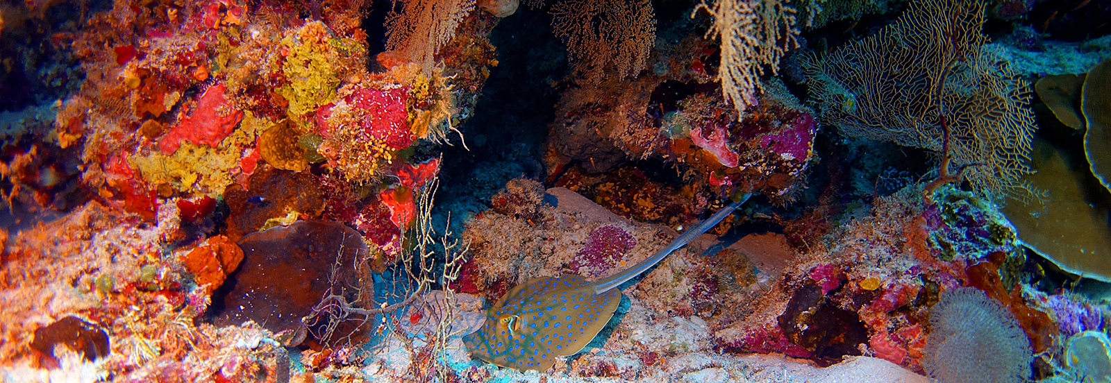
Timor-Leste
As a scientist, I am always seeking that pure marine environment persisting as nature intended—a baseline where I can trust that nature is evolving without our influence. Timor-Leste (meaning ‘East Timor’ in Portuguese) is described as “still wild and pristine, a magnet attracting anyone willing to endure the challenges of venturing into the unknown” (Ângelo, 2018).
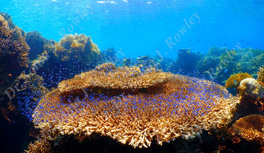
Timor-Leste promises to be the most beautiful and, in many ways, the final frontier for tropical marine exploration—particularly at mesophotic depths. It has been identified as one of 50 reef regions globally that are less vulnerable to climate change, positioning it as an important climate refugium. Timor-Leste is also one of the six member states of the Coral Triangle (global center of marine biodiversity).
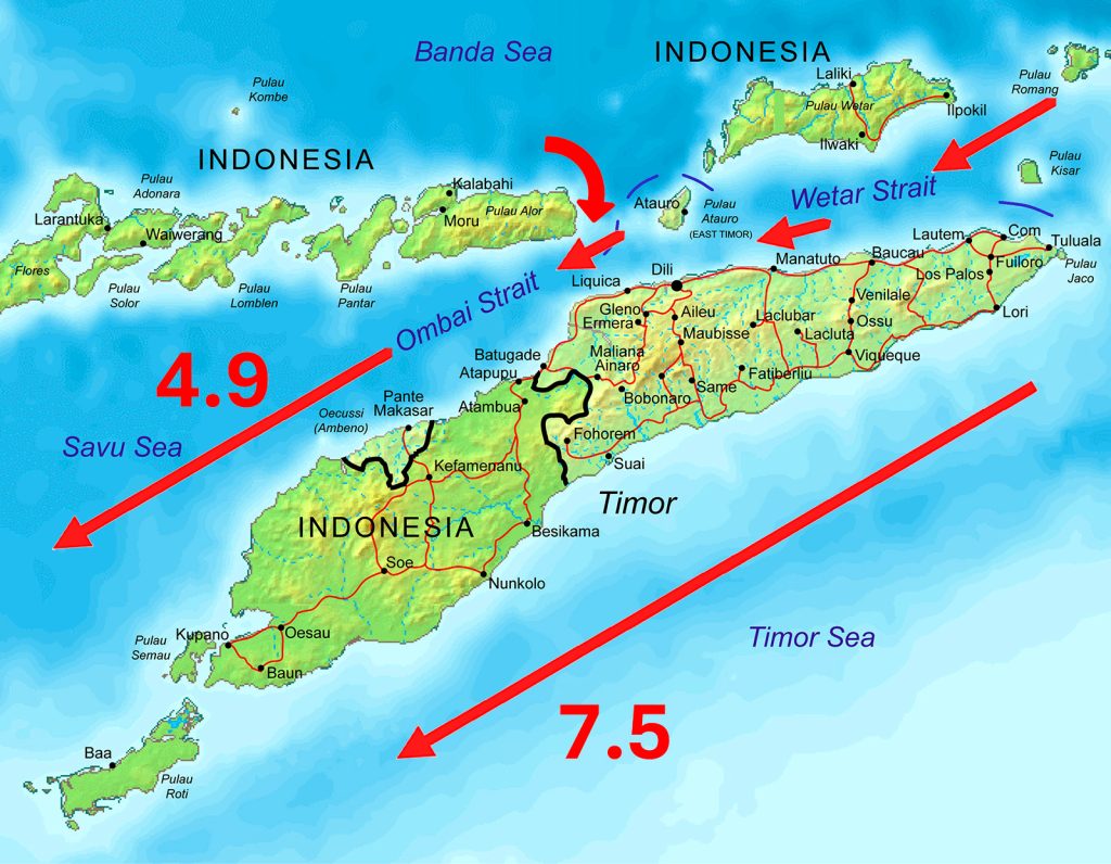
Timor-Leste and the Indonesian Throughflow: Ombai/Wetar Strait 4.9 Sverdrups and Timor Strait 7.5 Sverdrups (1Sv = 106 m3/s).
Yet, while home to some of the worlds most biodiverse reefs, Timor-Leste also attracts significant geopolitical interest. Following a politically fraught and troubled history, the nation is now independent and stands as ASEAN‘s newest country. As people fought on land, nature persisted at sea, reflected in its biodiversity and bi-annual Blue Pygmy Whale migration. In fact many species of megafauna (e.g., whales, dolphins, sharks, rays, turtles) ride the ‘ocean highways’ either side of Timor-Leste. The Ombai Strait and Timor Strait collectively constitute over 80% of the worlds largest ocean current, the Indonesian Throughflow (ITF).
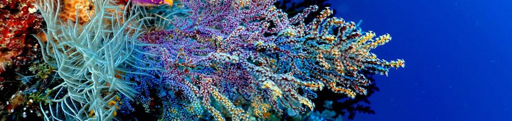
The ITF feeds and connects reef biodiversity transporting microscopic food, gametes (eggs and sperm), and planulae (planktonic larvae) across tremendous distances. Particle retension time depends on many factors, nonetheless, a significant part of my research is comparing and connecting not only what I see across depth, but also across different locations (biogeography, and phylogeography).
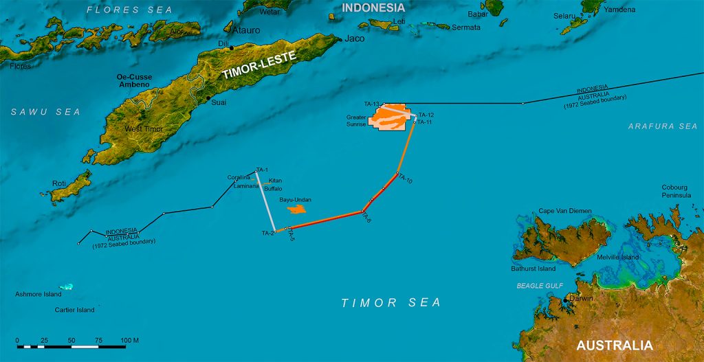
Location map: Timor-Leste. Modified from Land & Maritime Boundary Office, Timor-Leste. Line illustrates the maritime boundary of Timor-Leste with gas fields of the Greater Sunrise Complex estimated to hold 5.1 Tcf of gas.
Get Involved
To expand your skills and participate in expedition research projects you will learn specific scientific and safety procedures tailored to conduct research at mesophotic depths. The 2026 November-December expedition is currently available for this location, which will actively involve you with expedition research.
Click on the Sign up tab below to register your interest.
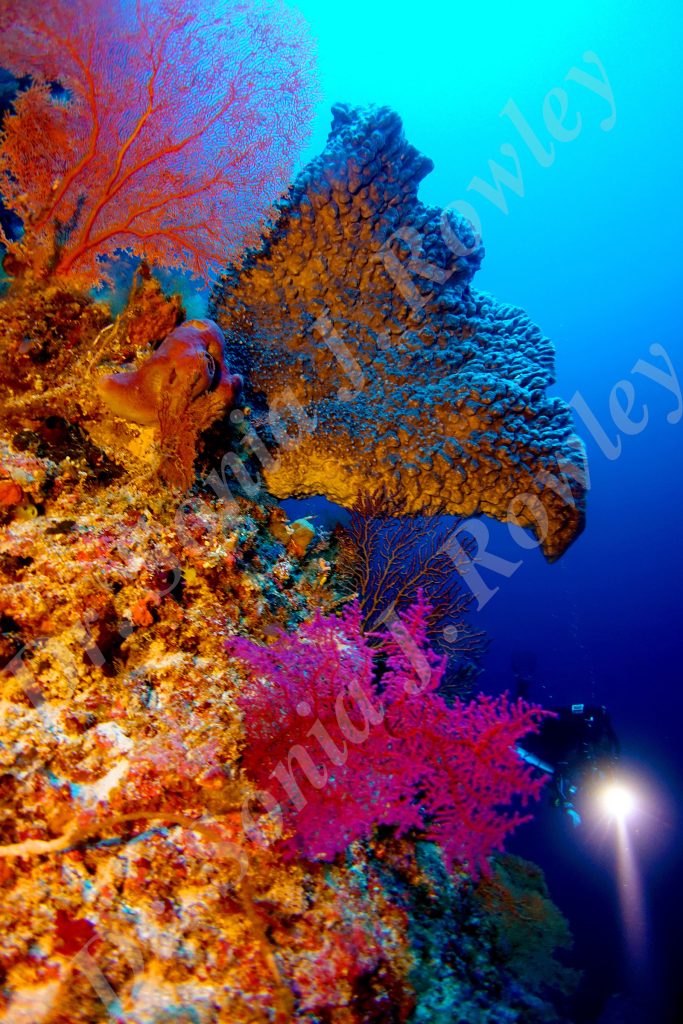
The shear walls of northern Timor-Leste and the barrier reef of Ataúro Island, harbour immense marine biodiversity across depth into the deep-ocean. Using rebreathers enables an immediate gestalt and intimate experience with these untouched depths of the Coral Triangle.
This reconnaissance expedition not only explores the unknown mesophotic depths of Timor-Leste, we will characterise these reefs across a depth range of 150-0.5 m/492-1.6 ft. With a vision to return and conduct research on an anual basis, we seek to collaborate closely with the Timor-Leste communities.


